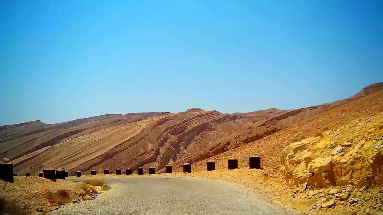
כביש 227, מעלה עקרבים, הנגב במדבר Route 227, The Scorpion's Pass, road in the desert, Negev, Israel

דרג סרטון זה
התחבר כדי לדרג
תיאור
על גלגלים מגישים לכם נסיעה על כביש 227 על החלק הידוע בו שנקרא מעלה עקרבים.
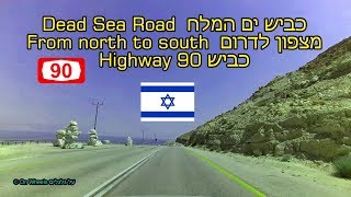
כביש 227 הוא כביש רוחב אזורי החוצה את מזרח הנגב. הכביש עובר דרך מעלה עקרבים אל עבר הערבה, שם הוא מסתיים ליד עיר אובות בצומת עין חצבה שעל כביש 90 בקטע שנקרא כביש הערבה.
בתחילת הנסיעה חלפנו סמוך לאנדרטת חיל ההנדסה שנבנתה לזכר מבצע ערבה אשר בו סללו את הכביש בשנת 1950 ומאז הכביש כמעט שלא השתנה. עד 1956 שימש הכביש כנתיב העיקרי לאילת.
הנסיעה מסתיימת בכביש הערבה (כביש 90) אשר אליו פנינו מצומת עין חצבה.
מפת מסלול הנסיעה והאזור: https://goo.gl/maps/ZEG5FSmKRvv
Driving east about 34 km on Route 227. Route 227 in Israel is a 34-kilometre (21 mi) road in the eastern Negev desert. It starts from an intersection with Route 206 in the northwest and ends in Ir Ovot in the southeast, intersecting with Highway 90. It has one at-grade intersection at 19 km. The original road (since upgraded) was laid by British land surveyors in 1927. Prior to 1956, this was the primary route from Beersheba to Eilat
The Scorpion's Pass, Ma'ale Akrabim, is a steep, twisted section of Route 227, starting from the Tzafir stone structure (an archaeological site) in the south.
The Scorpion's Pass is a recognized heritage site in Israel
The pass is known for its extreme danger due to poor physical condition. Below the pass there is an abyss, and the road has no guard rails. In addition, the road has extreme dropoffs of hundreds of metres
Map of the route and area: https://goo.gl/maps/ZEG5FSmKRvv